
AI Weed Mapping Systems


TerraClear Uses Drone Imagery and AI to Locate Giant Ragweed Precisely
Mursal Rahman — May 5, 2026
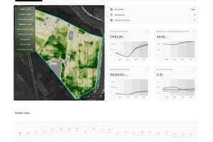
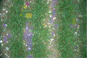
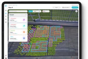
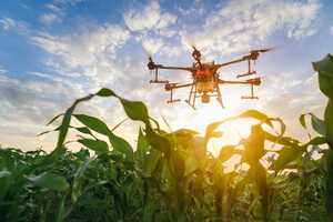
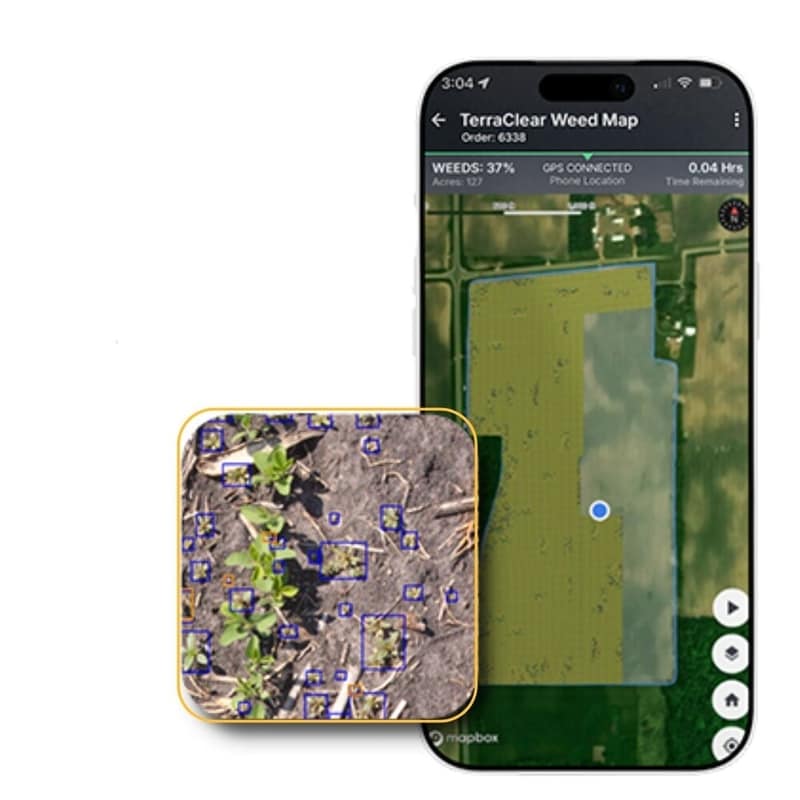
TerraClear’s AI weed mapping systems are transforming how organic farmers manage invasive species like giant ragweed by replacing manual scouting with precise, data-driven detection. Using drone imagery and machine learning, the platform identifies individual weed locations and delivers exact GPS coordinates, allowing farmers to target removal efforts instead of surveying entire fields. This approach helps prevent seed spread, which can otherwise impact crop yields for years.
For agricultural businesses, this system reduces labor costs and improves operational efficiency by minimizing time spent on unnecessary fieldwork. Farm managers can allocate resources more strategically, focusing only on problem areas rather than entire acres. The ability to act quickly before weeds mature also protects long-term productivity and reduces future remediation costs. As labor shortages persist and input costs rise, tools like TerraClear’s mapping service offer a scalable way to maintain crop health while optimizing both time and financial resources.