
Urban Wildfire Modeling Systems


Technosylva Predicts How Fires Spread Through Communities
Mursal Rahman — April 22, 2026
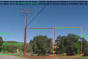
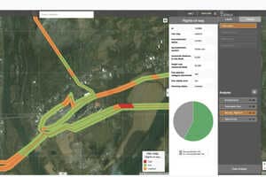
Urban wildfire modeling systems are being developed to better predict how fires spread through populated areas, addressing a key gap in traditional wildfire simulations. Technosylva’s enhancements focus on two main areas. First, the model simulates fire behavior in the wildland-urban interface, where buildings, vegetation and infrastructure interact, allowing it to track how fires move between natural and built environments. Second, a dynamic building loss model estimates how likely structures are to be damaged based on factors such as density, materials and surrounding conditions. These updates are supported by detailed fuel mapping and high-resolution weather data to improve accuracy at a neighborhood level.
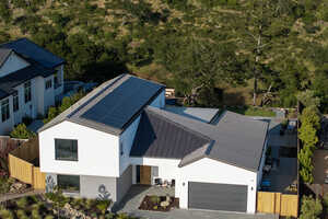
These capabilities support utilities, insurers and fire agencies in making more informed planning and mitigation decisions. Improved risk visibility can guide investments in infrastructure hardening, vegetation management and emergency response strategies. As wildfire frequency and severity increase, organizations using advanced modeling tools may reduce potential losses, improve operational preparedness and better protect communities and critical assets.