
Glacier Mapping Technology


Trimble Supports Drone-Based Glacier Mapping with Precision GNSS Tools
Mursal Rahman — May 13, 2026
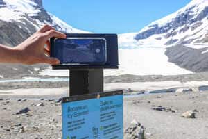
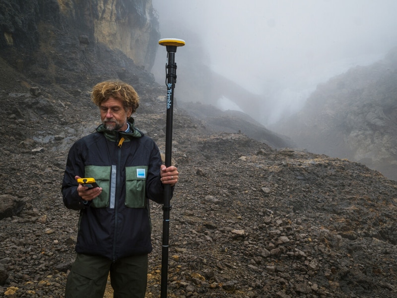
Glacier mapping technology is helping scientists document disappearing tropical glaciers through advanced positioning systems and drone-based photogrammetry. Trimble partnered with Project Pressure to create a centimeter-accurate 3D model of the rapidly receding Puncak Jaya glacier in Papua, Indonesia. Using GNSS positioning tools and drone imagery, researchers established a detailed scientific baseline for tracking glacier recession and predicting future disappearance timelines. The collected data also supports local communities by helping them prepare for water shortages and make informed agricultural decisions as climate conditions change.
The business implications extend beyond scientific research into the growing market for climate-focused geospatial infrastructure. Precision mapping technologies are becoming increasingly valuable for environmental monitoring, disaster preparedness, and sustainability planning. As governments and organizations invest more heavily in climate adaptation strategies, companies specializing in advanced positioning systems, remote sensing, and drone analytics may see expanding demand across environmental science, infrastructure management, and resource planning sectors.