
Satellite Flood Intelligence


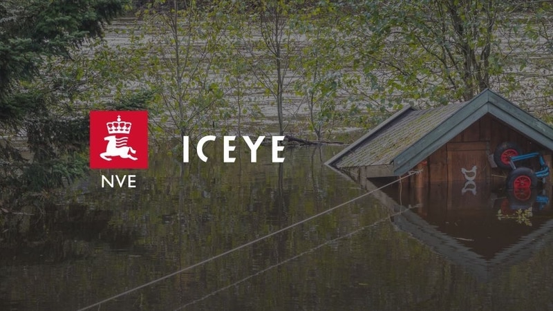
ICEYE Delivers Nationwide Flood Monitoring for Norway
Mursal Rahman — June 18, 2026
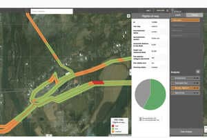
Satellite flood intelligence is transforming how governments monitor and respond to extreme weather events. ICEYE's new partnership with Norway's Water Resources and Energy Directorate (NVE) uses synthetic aperture radar (SAR) satellites to provide near real-time flood tracking across mainland Norway and Svalbard. Unlike conventional optical satellites, SAR technology can capture data through clouds, darkness, and adverse weather conditions, enabling continuous observation of flood events. The system delivers frequent flood extent updates and detailed impact assessments that help authorities improve hazard mapping, forecasting accuracy, and emergency response efforts.
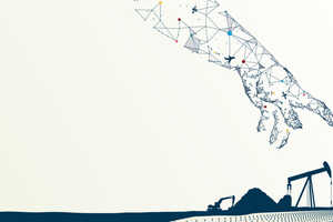
The broader impact extends beyond disaster management. More reliable flood data can support infrastructure planning, insurance risk assessment, and public-sector resilience investments. Municipalities and utilities can use these insights to better prepare for weather-related disruptions, while engineering and environmental organizations gain access to more accurate planning tools. As climate-related risks increase globally, demand for advanced monitoring services is expected to create new opportunities in the satellite analytics and environmental intelligence sectors.