High-Altitude Drone Operations
Related Ideas
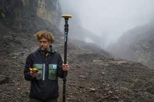
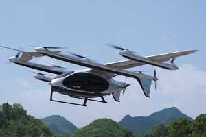
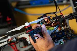
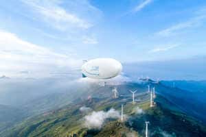
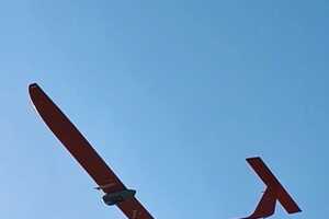

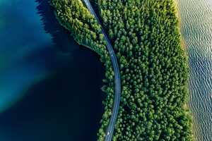
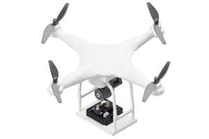


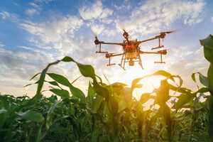


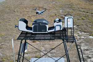

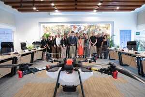


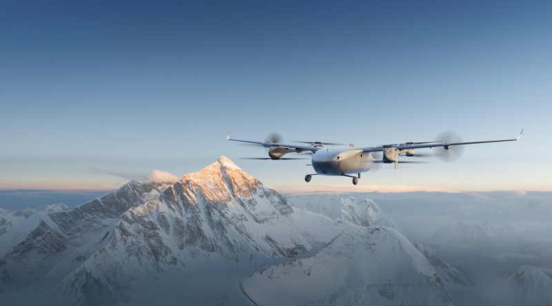
High-altitude drone operations are expanding as DJI demonstrates new capabilities for cargo delivery, glacier mapping, and atmospheric research on Mount Everest. Using the FlyCart 100, Matrice 4E, and EV50 platforms, the company completed missions that transported supplies and waste, produced high-resolution terrain maps, and supported climate research at extreme altitudes. These deployments show how advanced drones can operate in challenging environments while reducing reliance on labor-intensive and hazardous manual operations.
For businesses and public organizations, high-altitude drone systems create new opportunities to improve logistics, environmental monitoring, and emergency response in remote regions. Faster aerial deliveries can lower operational costs and reduce risks for workers, while detailed mapping supports infrastructure planning, conservation, and disaster preparedness. As drone capabilities continue to improve, specialized aerial platforms are becoming valuable tools for industries that require reliable access to difficult terrain, including scientific research, utilities, mining, and environmental management.