Embedded Satellite Mapping

Related Ideas




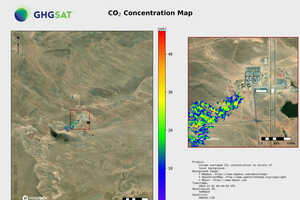








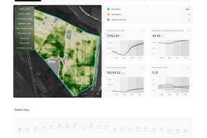






Embedded satellite mapping is streamlining geospatial workflows by bringing satellite imagery directly into ArcGIS environments. SkyFi's new ArcGIS integration allows GIS teams to search, order, and stream commercial or archived satellite imagery without leaving their mapping software or downloading and converting files. Using standards-based WMTS streaming, imagery appears as a live map layer across ArcGIS Online, ArcGIS Pro, ArcGIS Enterprise, and other compatible platforms, enabling faster access to up-to-date geospatial data alongside existing datasets.
For businesses, this integrated approach reduces manual processing steps that can slow infrastructure planning, environmental monitoring, utility management, and defense operations. Organizations can make faster location-based decisions while minimizing workflow complexity and improving collaboration across teams. By embedding Earth observation data directly into established GIS platforms, solutions like this lower barriers to satellite intelligence adoption and help enterprises scale geospatial analysis more efficiently across everyday operations.