Satellite Rail Monitoring
Related Ideas



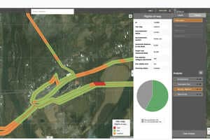
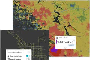
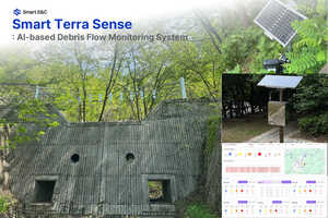
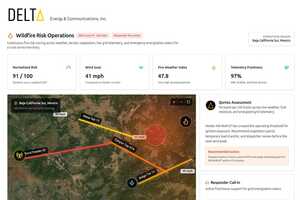







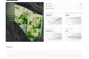
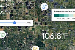
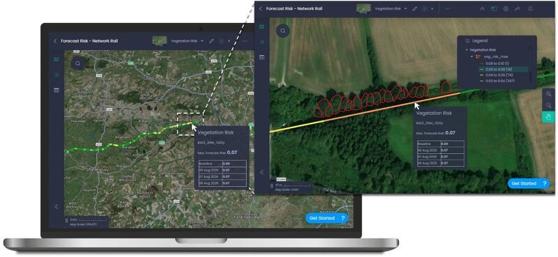
Satellite rail monitoring combines Earth Observation imagery, InSAR analytics, LiDAR vegetation data, and short-range weather forecasting into a decision-support platform for railway operators. The prototype analyzes long-term infrastructure vulnerability alongside daily weather conditions to identify potential flooding, ground deformation, and vegetation fall-in risks up to three days in advance. By delivering location-specific forecasts through an interactive dashboard, the system supports more proactive monitoring and infrastructure management.
The pilot demonstrates how satellite intelligence can help rail operators strengthen climate resilience while improving operational efficiency. Earlier identification of weather-driven hazards could reduce service disruptions, optimize inspection schedules, and enable more targeted deployment of maintenance resources. As climate risks become more frequent, predictive monitoring platforms may become an increasingly valuable tool for transportation infrastructure owners seeking to lower maintenance costs, improve network reliability, and support long-term asset management across large rail systems.