Public Safety Indoor Mapping
Related Ideas

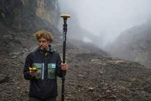















GeoComm and Map I.T. are advancing public safety indoor mapping by combining location intelligence with LiDAR scanning, reality capture and GIS development. The partnership transforms paper floorplans, PDFs, CAD files and existing building records into structured digital maps that can support emergency response and facility operations. Map I.T. can also capture physical spaces to create new floorplans, 3D models and critical asset inventories, while GeoComm applies public safety data standards and operational context to the resulting maps.
The combined approach can reduce the fragmented handoffs typically involved in preparing, converting and reviewing indoor mapping data. Organizations can also scale mapping across multiple buildings, campuses and complex facilities while maintaining consistent data quality. For GeoComm and Map I.T., the partnership expands the size and complexity of projects they can address while providing public safety agencies with more actionable location data.